
GPS devices are the topo maps and compass bearings of modern hikers. While they aren't maps in the traditional sense, they offer a resource for keeping track of your route and analyzing data like pace, elevation, time and distance.
Gadgets with GPS systems can provide easy-to-use information on where you are, where you’ve been and where you're going.
First things first- should you use a GPS (Global Positioning System) or a map and compass? Both are useful and the way they help you interpret the trail is slightly different.
A GPS offers highly specific navigational information digitally; using a compass and map gives a broader geographical context and helps you visualize the natural landmarks around you.
A map and compass is only as accurate as the person using it. Using a map and compass with a high level of navigational skill allows you to pinpoint exactly where you are regardless of the conditions you're navigating in. GPS units, on the other hand, have a range of accuracy that changes with the interference of clouds, trees, buildings, or hills. Depending on how many satellites they're communicating with, GPS units can accurately pinpoint the coordinates of your location within a range anywhere between one and 100 feet but, with good visibility, are usually accurate within ten to 30 feet.
For the sake of this blog post, we're interested in how hikers monitor specific data on speed, distance, and elevation gain and loss during a hike. For information like that, a GPS can certainly be a useful tool... and if nothing else, it's a lot of fun.
You've really got three options if you want to use GPS: phones, watches, and hand-held GPS units.
Phones: The easiest intro-level tool for tracking your hikes.
Pros:
- One-stop-shop for multiple trail tech tools, from camera to step counter to map to plant identification apps
- Sync-able with a hiking watch for more robust data analysis
- Able to connect to GPS signals regardless of cellular company, data plan, or phone mode you are in
Cons:
- Susceptible to water and rough outdoor conditions
- Short battery life
- It's hard to completely disconnect from the outside world when you rely on this as your tracking device
Watches: The altimeter watches of the past have gotten a major innovation makeover.
Pros:
- Convenience factor- the info you want is on your wrist, not on a separate gadget in your pack
- Store thousands of custom waypoints
- Can include a heart rate monitor, thermometer, barometer, compass, alarm, and other features
- Highly accurate
- Long battery life
- Remain sturdily in place instead of bouncing around in your pack
- Sync with phone apps for data analysis
- Lightweight
Cons:
- Can be expensive, with prices ranging from $50 to over $5,000.
- Running watches don't do the trick because they rely on predesignated running trails, not the untrammeled wilderness.
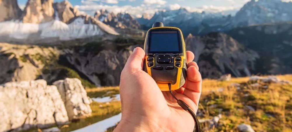
Handheld GPS units: An oldie but a goodie
Pros:
- Damage and water resistant
- Satellite reception in remote places
- Features developed specifically for outdoor use
Cons:
- Clunky and heavy and bounce around in your pack
- Unlikely to have additional features like barometer, thermometer, or alarms
We have guides who happily rely on all three of these- and other guides who don't use any GPS system at all! It's about weighing the pros and cons with your specific needs and wants on a hike. Regardless of what you choose, it's always nice to know where you've been so you can plan for where you're going next.
