
This fifth and final installment of the Hiker's Glossary is a guide to navigational terms. The first portion of the Hiker's Glossary is all about Types of Trails, the second portion focuses on Terrain, the third section is all about Common Hiking Terms, and the fourth section is about Different Types of Hiking.
Whether you've been hiking for half a century or are looking to hit the trail for the first time, one of the greatest joys of hiking is that there are so many different things to discover on your own two feet. We're here to help you learn all the lingo you might encounter as a hiker.
- Topography/topographic:
Topography focuses on the natural and artificial physical features of the land: hills and valleys, rivers and lakes.A topographic (“topo”) map is one that shows the natural features of a landscape, including contour lines representing elevation change. Topographic maps often include a keyor legend, and at the very least will indicate the scale (e.g. 1 inch=1 mile) and the contour interval (e.g. 40 vertical feet between contour lines).

- Altitude & Elevation: Vertical distance. Technically “altitude” is used to describe the height of an object (e.g. an airplane) above the ground, and “elevation” is used to describe the height of a geographic feature (e.g. a mountain) above sea level. Anytime you hike uphill you’re gaining elevation.
- At elevations above 5,000 feet, most people will start to feel the “effects of altitude”: decreased atmospheric pressure leads to less oxygen reaching the bloodstream, so a person gets out of breath more easily (the various effects of altitude on human physiology is beyond the scope of this post). 5,000-8,000 feet above sea level is considered “moderately high altitude” and 8,000-14,000 feet is “high altitude.”

- Elevation profile: Shows the elevation gains and losses of a hike in “profile” view. Some maps include elevation profiles of specific hikes featured on the map. The scale of the elevation profile will affect how steep a slope appears—are you gaining 500’ of elevation (vertical distance) over a mile or a quarter-mile (horizontal distance)? The shorter the distance in which you gain elevation, the steeper the slope.
- Cumulative elevation gain: The sum of all elevation gained over the course of a hike. Each time the trail goes downhill, then back uphill, it adds to the cumulative elevation gain. Cumulative gain is useful for determining the difficulty of the hike (it’s more useful than simply calculating the difference between the highest and lowest points). Cumulative elevation loss is the sum of all elevation lost. On a loop hike or an out-and-back, cumulative gain and loss are equal.
- Legend: Also known as a key, the map legend is a visual explanation of the symbols used on a map. The legend is a graphical representation of information, with design principles similar to a map or any other graphic.

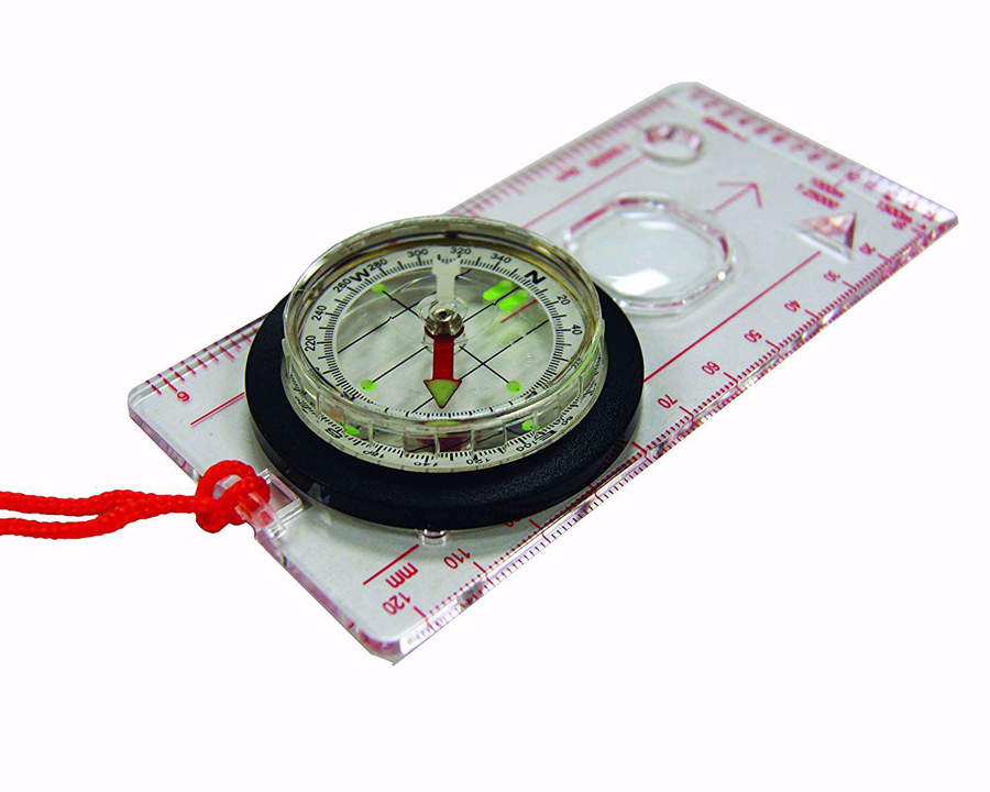
- Navigation: Finding your way from point A to point B. Hikers often navigate by using trail signs (if they exist), topographic map & compass, GPS, known landmarks, and prominent terrain features. Outdoor stores and local hiking groups offer classes on land navigation skills; check your local library or gear shop for books or consider our introduction to hiking trip, The Art of Mountain Hiking!
- Wilderness Navigation: Finding Your Way Using Map, Compass, Altimeter & GPS (Mountaineers Books, 2015)
- NOLS Wilderness Navigation (National Outdoor Leadership School, 2013)
- The Essential Wilderness Navigator (Ragged Mountain Press, 2000)
- Route finding: Determining the best way to to get to a chosen destination without a clearly marked trail. It is most relevant to off-trail hiking. For example, you might be looking for the safest place to cross a boulder field, or the least-steep way to climb or descend a slope with no defined trail. If you can’t actually see all the terrain you’ll be covering off-trail, you’ll want to use your topographic map to plan the best route (safest, most efficient, not crossing a swamp, not climbing in and out of drainages unnecessarily).
- Orient: To “orient” yourself means to establish your location in relation to your surroundings. To “orient” a map means using a compass to position the map so that north on the map points to geographic north. (For further explanation on orienting maps, see our E-Guide to Hiking).

- Orienteering: An outdoor sport that involves navigating to a set of “controls” (3-sided orange & white flags) by reading a topographic map. An orienteering map is more detailed than a regular topographic map. Courses are set at different levels of difficulty, so it’s a great way to develop map-reading skills. Orienteering is especially popular in Europe among people of all ages, but there are also clubs across North America.
